All About Upper Bayang Sub Division
Upper Bayang sub-division which was created by the presidential decree in the year 1992 and the Tinto council was created later on by presidential decree N⁰ 93/321 of November in the year 1993, even though it went operational only in 1996.
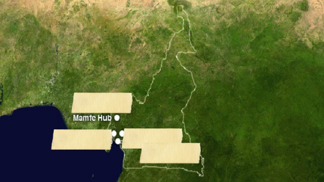
The Upper Bayang sub-division is found in the heart of a dense tropical rain forest. This dense tropical rain forest has attracted forest exploiters, Non Timber Product harvesters and ecotourism. Upper Bayang sub-division is bordered to the North by Widikum and Mamfe Central, to the South by Nguti, Menji and Eyumojock.
History of Upper Bayang
Presently, the area is spread out in to 10 clans with a slight difference in their migratory history. The indigenes of this area are the Bayangs, even though today, the area is not inhabited only by the Bayangs but also by people from other parts of the country though the Bayangs remain the majority in this area.
Population
The population of Upper Bayang is very vibrant and is composed of the indigenes of the area and those from other parts of the country. The figures of the total population of the area vary depending on the sources we consult. The census conducted in 2005 estimated the total population at 27,485 inhabitants. The official figure which is commonly used is the census conducted in the year 1987 which estimated the total population at 55,000 inhabitants. However, the villagers also estimate their population to be at 60,000 inhabitants.
Climate
The area is found within the Equatorial Climate Zone and thus is made of the Equatorial rain forest climate which is characterised two main seasons which is the dry season and the rainy season.
The rainy season in the Upper Bayang area begins in March and sometimes in April and stops in September and some of the times in October. The rainy season in this area has an annual rainfall of which ranges from 3500 mm to 4000 mm. The peak periods during the rainy season are common in the months of July and August.
The dry season in this area starts from October/November and ends in March. It is characterised by temperatures ranging from 30⁰c to 32⁰c.
Hydrology
The Upper Bayang area is richly watered by several rivers and tributaries. These rivers and their tributaries include River Mbu, River Mifi and River Manyu. These rivers are very important rivers that combine to form the Cross River that flows into Nigeria. Streams that exist in this area include Baliye and Aler, just to name a few.
Soils and Vegetation
The area is made of three main type of soils which dominate the area. These three main types include, the humus or top soil, red clay soil and sandy soil.
In general, the area is dominated by Equatorial Rain Forest and also falls within the Tropical Evergreen Forest Type. The Mamfe area is part of the Guineo-Congolian Floristic Region with altitude which ranges from 90 m to 500 m above sea level. There is also the primary vegetation and secondary vegetation types found in this area. The variation of their characteristics has led to the existence of two unique types of vegetation in the area which include the Mid-Altitude Forest vegetation and the Lowland Rain Forest vegetation.
Agriculture
With a long rainy season and a short dry season, availability of water resources in the form of streams and rivers, springs and a favourable climatic condition, favours rain fed agriculture and a two-cropping season a year for cereals. These rivers, streams and springs in this area act as a source of irrigation in to farms. This irrigation system has encourage the practice of market gardening in the area.
Socio-Economic Infrastructure
There are several socio-economic infrastructure in this area with the key ones being the government services that provide different services to the population and include local representation of ministerial departments and are agriculture, basic education, national gendarmerie, health, livestock, finance, youth and territorial administration. They work in collaboration in the realisation of the development vision of the area.
Forest Resources
The forest resource in this area is regarded as a great potential for development in the area. First and foremost, it provide potential land for the expansion of agriculture. It will not be detrimental to environmental objectives if it is well organised. Again, there is abundant potential for the establishment of more forest in the area given that, there are only three forests in the area. And also, the exploitation of Non Timber Forest Product can be better organised as a source of income if there is the creation of forests in the area.
Education and Health
The area has 67 secondary schools and 67 nursery and primary schools, and 13 heath units. These educational institutions suffer from poor staffing and insufficient supply of accessories such as hotel, libraries, playing ground and water, and pharmacies and laboratories for health units.
Religion
Christianity is highly practiced in this area, even though traditional religion is also respected by some of the indigenes. The main denomination of these Christian churches include Catholic, Presbyterian, Apostolic, Full Gospel and other Pentecostal churches.
Hope you enjoyed this page. Click here to leave Upper Bayang to our Home page
Click Here to read more about this place
Have A Great Story About Upper Bayang?
Do you have a great story about Upper Bayang Sub Division? Share it!
You might like these
Mamfe Central Sub Division
This page is about Mamfe Central Sub Division, South West Region of Cameroon